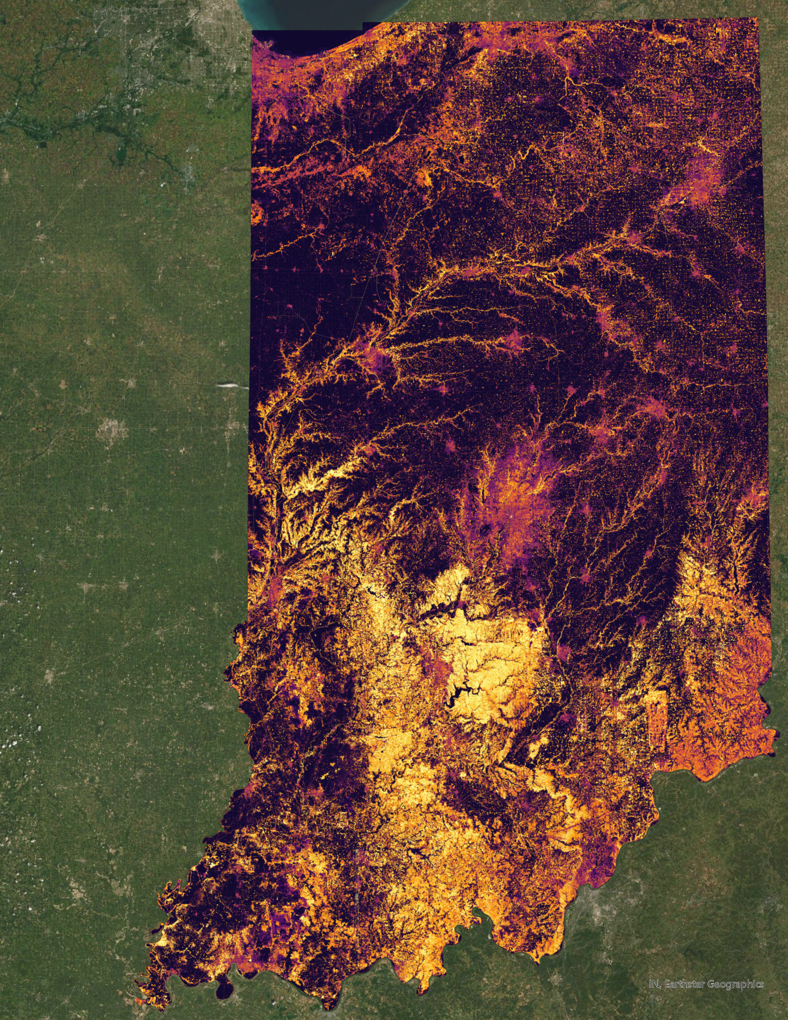


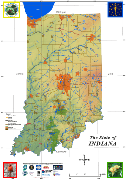
THANKS to an ATLAS Grant from the Indiana Geographic Information Office, GENI will deploy 20Giant Maps of Indiana around the state to organizations/collaboratives demonstrating the ability and vision to teach and learn Geography and Geospatial Technologies. The Map will be a permanent resource for your organization to aid in the teaching and learning of 21st Geography and Geospatial Technologies! The GMIN measures 10’ east/west x 16’ north/south and is printed on light-weight vinyl, folds into a manageable size and contains LOTS of information about the state.
Schools, school corporations, libraries, museums, after-school programs, parks, 4-H, FFA, Scouts, historical societies … rural, suburban, urban. All are welcome to apply!
DEADLINE: September 3, 2026