

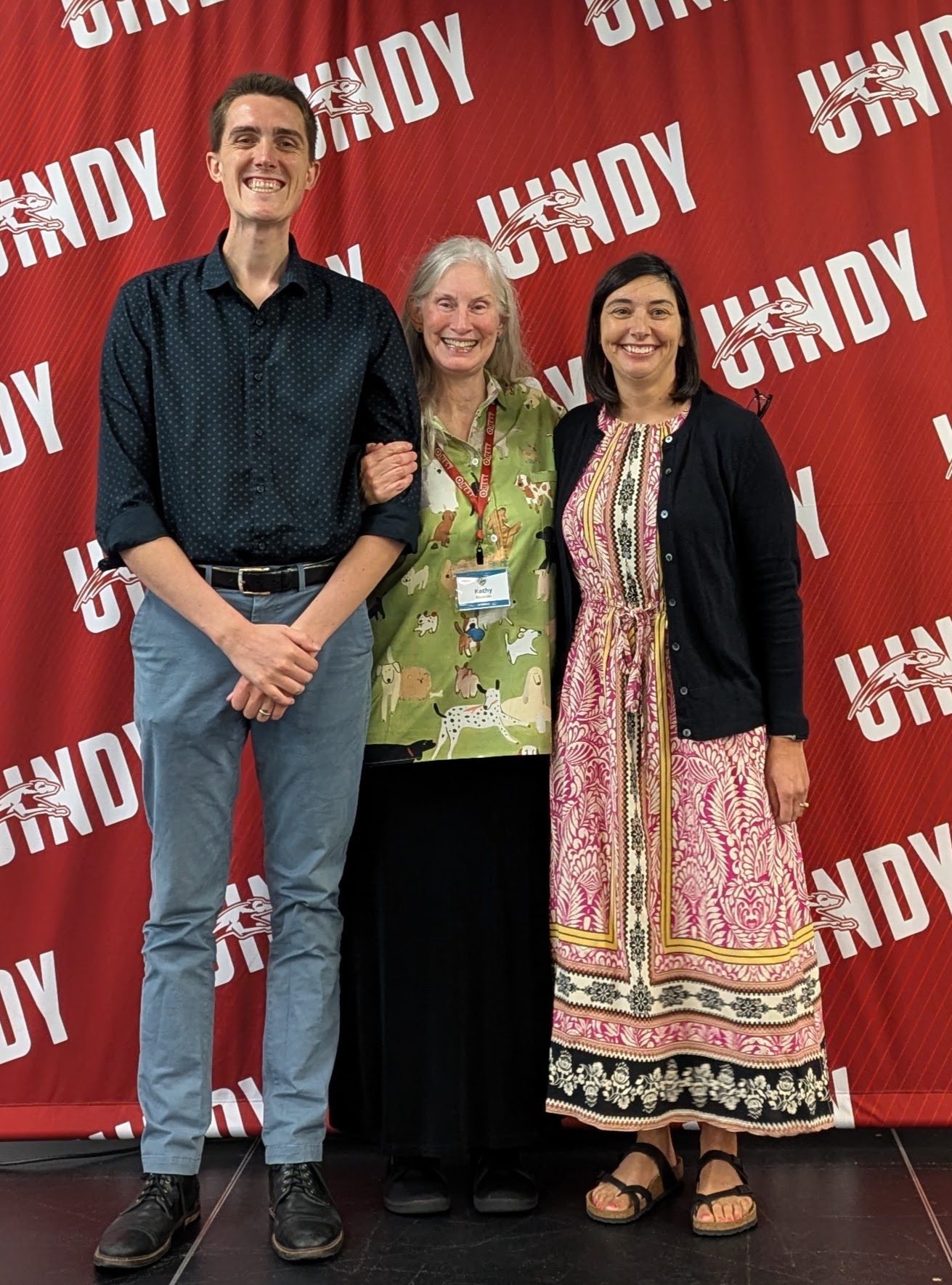
Matt Evans
GENI's Friend of Geography Award Recipient
This year the GENI Awards Committee wishes to acknowledge Mr. Matt
Evans. Most of you do not know Matt, but he is the genius behind the
creation of GENI’s latest Giant Map of Indiana. Matt is an experienced
Geographic Information Systems Coordinator with a demonstrated history
of working within government and administrative settings . Mr. Evans is
skilled in Strategic Planning, Environmental Sciences, Research,
Geographic Information Systems, and Spatial Analysis. Graduating with
an undergraduate degree from Earlham College highlighting Geology,
Environmental Sciences and General Education enabled Matt to pursue
many diverse professional employment opportunities: including with the
City of Richmond, Planning Division and as a GIS Coordinator; he
worked with the Wayne County Surveyor as a GIS Coordinator; he has
been a GIS Program Specialist with the Indiana Geographic Information
Office; currently, Matt is THE GIS Data Harvest Subject Matter Expert
within the IN Geographic Information Office … Matt enables statewide
GIS and Geospatial Professionals 1) to construct better decision-making
applications and solution, 2) to comprehend the full-scope of problem-
solving as everything involves multi-dimensional, or spatial, elements and
3) calibrate appropriate and efficient planning because of accurate and
current spatial data. In other words, Matt enables the State of Indiana to
function in a more efficient, accurate and informed manner.
MANY of us are looking forward to collaborating with Matt on future GIS
and Geospatial projects as technologies adapt and change and as realities
become both larger and much smaller, in other words involving LOTS of
spatial information. And MANY of us are looking forward to watching as
Matt continues to shine and to lead the state and nation in GIS and
Geospatial Technologies!
Without Matt, GENI and Indiana would be less capable of accomplishing
many geographic tasks and geo-education resource development. THANK
YOU, Matt!!!