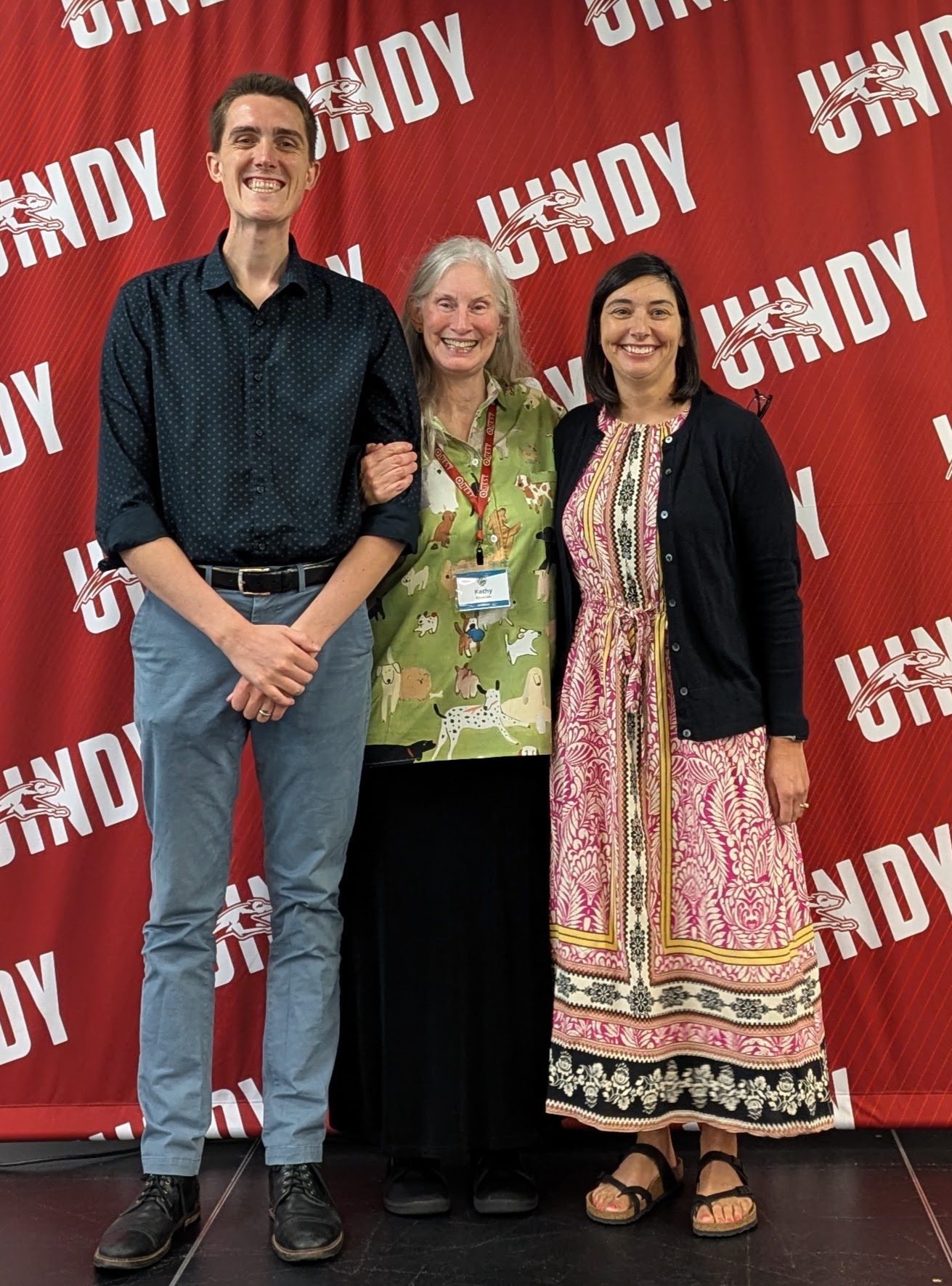
Mapping Indiana’s Bicentennial: Giant County Maps & Timelines Project

Bicentennial LogoBicentennial Logo

check back often for updates and progress; if you would like to join a County Planning Team, contact the GENI office

Goal: To create 10’x10′ Giant County Maps and 10″ x 15′ Giant County Timelines for all 92 Indiana counties in order to provide an education resource for all citizens of a county to better understand their community. The Giant County Maps & Timelines will be printed on vinyl for durable, long-lasting use in schools, museums, libraries, businesses, offices, and more. Each County Map & Timeline will provide a foundation upon which teaching and learning will enrich the users knowledge of their home AND from which further teaching and learning can evolve. Final map sizes are estimates and depend upon county shape and size, east to west and north to south. Final timeline sizes are estimates depending upon county history.

> Access the archived Webinar of February 10, 2016 http://webinar.isl.in.gov/p7yrlis5175/ to learn more about this Project. (transcription of webinar) (PPT for webinar)

MAPS in various phases from beginning to completion: Adams, Allen*, Bartholomew, Benton, Blackford, Boone, Brown, Carroll, Cass, Clark, Clay, Clinton, Crawford, Daviess, Dearborn, Decatur, DeKalb, Delaware*, Dubois, Elkhart*, Fayette, Floyd*, Fountain, Franklin, Fulton, Gibson, Grant, Greene, Hamilton elem*, Hamilton*, Hancock, Harrison, Hendricks, Henry, Howard, Huntington, Jackson, Jasper, Jay, Jefferson, Jennings, Johnson, Kosciusko*, Knox, LaGrange, Lake, LaPorte, Lawrence, Madison, Marion, Marshall, Martin, Miami, Monroe, Montgomery, Morgan*, Newton, Noble, Ohio, Orange, Owen, Parke*, Perry, Pike, Porter, Posey, Pulaski, Putnam, Randolph, Ripley, Rush, Scott, Shelby, Spencer, St. Joseph, Starke, Steuben, Sullivan, Switzerland, Tippecanoe*, Tipton, Union, Vanderburgh, Vermillion, Vigo, Wabash, Warren, Warrick, Washington, Wayne, Wells, White, and Whitley (*=final version)

TIMELINES: AllenClarkDeKalbDelawareElkhartFloydHamiltonHarrisonJohnsonKosciuskoLakeMorganNobleParkePorterTippecanoeWayne

ORTHO IMAGERY (aerial): AdamsAllenBartholomew, Benton, Blackford, Boone, Brown, Carroll, Cass, Clark, Clay, Clinton, Crawford, Daviess, Dearborn, Decatur, DeKalbDelaware, Dubois, Elkhart, Fayette, Floyd, Fountain, Franklin, Fulton, Gibson, Grant, Greene, HamiltonHancockHarrisonHendricks, Henry, Howard, Huntington, Jackson, Jasper, Jay,Jefferson, Jennings, Johnson, Knox, KosciuskoLa PorteLaGrangeLake, Lawrence, MadisonMarionMarshall, Martin, Miami, Monroe, Montgomery, MorganNewtonNoble, Ohio, Orange, Owen, Parke, Perry, Pike, Porter, Posey, Pulaski, Putnam, Randolph, Ripley, Rush, St. JosephScott, Shelby, Spencer, Starke, Steuben, Sullivan, SwitzerlandTippecanoe, Tipton, Union,VanderburghVermillionVigo, Wabash, Warren, Warrick, WashingtonWayneWells, White, Whitley

SATELLITE IMAGERY: AllenClarkDelawareElkhartFloydHamiltonHendricksJohnsonKosciuskoMadisonMorganNewtonParkePorterTippecanoeVanderburghWayne

To discover a brief history of your county (follow Resources, Explore Indiana links) OR via the IUS Bicentennial Library Guide

Satellite Images of some Indiana counties (developing by IndianaView, part of USGS AmericaView) (Example which will accompany giant county maps and timelines)

IndianaMap create your own Indiana maps using a GIS (geographic information system/software)

Indiana Resource Suggestions: Library & GeographyMappingLiterature Connections

Lesson Plans/Activities as a place to start:

Elementary SchoolMiddle SchoolHigh School
Welcome to Your County, Indiana!(Kosciusko County as an example)Scavenger Hunt of Your CountyIndiana Counties Pizza Box Project
Scavenger Hunt of Your CountyIndiana Counties Pizza Box ProjectMarking History on the County Map
Simon Says … on the Giant County MapSimon Says … on the Giant County Map 
Possible Manipulatives: string or plastic chains for scale & measurement, small colored cones for team competitions, giant blocks for population growth, laminated images of historic places & green spaces, cut-outs designating local industry (fish hatcheries, bee aviaries, hogs, sorghum…), laminated cards about key persons, laminated cards shaped into a triangle with place name & photo/lat&long/background/QR code around the 3 sidesBooks: see Literature Connectionsabove for all grade levels8.5″ x 11″ laminated maps highlighting human & physical characteristics from IndianaMap: hospitals, landfills/dumps, population changes over time, poverty…

Giant County Map & Timeline Process Paper as a Guide

Planning or Sponsor Partner Letter template

Recognized by the Indiana Bicentennial Commission as an Education Legacy Project