GeoINquiries: Teaching & Learning from a Spatial Perspective
- Stipend and Travel available
- Participants WELCOME:
- Indiana Educators from Schools/Libraries/Museums/Parks/FFA/4- H/After-School Programs/Scouts and more
- Indiana GIS/Geospatial Professionals
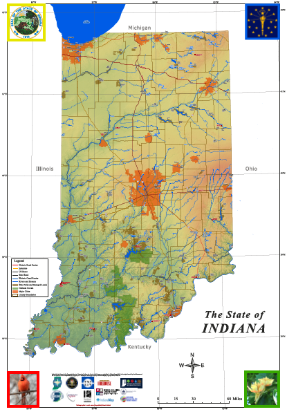
- GOAL: To create 15 GeoINquiries for Indiana middle and high school (and general public) students and educators utilizing Indiana Geographic Information Sciences and Geospatial Resources connecting users to 21st century Geospatial perspectives about their world and beyond: for example using the IndianaMap, Landsat imagery, drone imagery, images from space, Giant Map of Indiana, Indiana Atlas, Census data, historic Sanborn Maps, LiDAR and more.
- September 11 - December 15, 2026
Application DEADLINE: July 31 2026